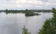
The river flows west through the city, dividing it into north and south, and meets the Western Bug in the Brest Fortress. The river flows slowly and gently. You can hop into a tube that looks like a big rubber doughnut and take a relaxing float down this river.
Historic background:
The early history of Brest goes back to the times of Kievan Rus. Presumably in the 10th century it began on an island at the confluence of the Mukhavets and Western Bug, at a crossroad of 2 important trade routes and waterways. The river was the only way for transportation across the thick forests and impassable marshland in those days. That was the first road of the settlement amid islands. A Slavonic Venice.People traveled down the river for ages. A relatively short portage between Pinsk and Kobrin linked two rivers (the Pina, a tributary of the Prypet and Dnieper River and the Mukhavets, a tributary of the Bug River) enabling a long transcontinental waterway from the Black to the Baltic seas. The Dnieper (Dnepr) River, the third longest river of Europe, was an important traffic artery of the Ukraine and Belarus, 2,290 km (1,420 mi) long. In the 18th century, the construction of a canal between Pinsk and Kobrin, named the Dnepr-Bug Canal, replaced the portage. Thus, the Mukhavets has always been a stretch of the long inland waterway from the Black to the Baltic seas.
At Pruzhany the Mukha River joins the Vets Canal to form the Mukhavets River 122 km long.
The terrain is fairly flat around Brest. The river looks quite broad in Brest. The river has an extremely large floodplain, that is about 2 km across. Brest was subject to flooding in the past. One of the worst floods in recorded history occurred in 1974.
A part of the floodplain was reclaimed from the river by dredging during the last 3 decades. In the late 1980s big cutter-suction dredgers were mining sand and clay from the riverbed, to raise the river banks. After the dredging the river became deeper and the riverbanks higher. Today the river does not overflow its banks.
Despite the reclamation major part of the river valley remains intact. A bird sanctuary stretches from the Brest Fortress along the intercontinental highway and the Mukhavets River. The seasons change the garments of the valley - meadows of spring wildflowers, emerald summer greenery, the fire colors of autumn, the fairyland snows. You see a new residential area at a distance, on the southern reclaimed riverside. The houses were built there during the last 2 decades.
The dam with locks have been regulating the water level in the river since the 19th century, to make it navigable.
The northern reclaimed riverside features a site of sports complexes, constructed in the early 2000s comprises the Ice Palace, indoor track-and-field arena and the ever first baseball stadium in Belarus.

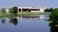

the Ice Palace (Ice Arena) of Brest

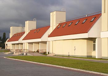
the indoor track-and-field arena of Brest


before the construction of the baseball stadium (2004).
The indoor track-and-field arena and the Ice Palace are seen in the background.
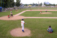
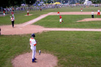
During a baseball match in Brest baseball stadium (July 2007)


The track around the course is used for roller skiing in summer, a non-snow equivalent to cross-country skiing. (Above, center).
In winter the track is covered with snow for cross-country skiing.
The course hosted the 2009 European Rowing Championships.
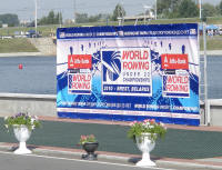
In 2010, Brest was hosting World Rowing under 23 Championships.

The northern reclaimed riverside near the sports venues features the Palace of Youthful Creativity.
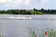

One can ride along the river like this guy in a motor race boat or row like those in the background.
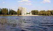
High-rises come close to the river beach.
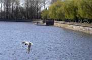
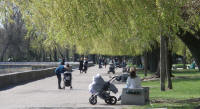
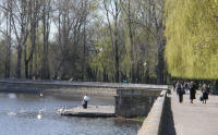
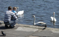
the riverside in spring
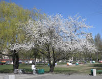
The smell of spring tickles the noses of Bresters.
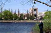
Angling is cool when the weather is fine!
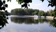
A stroll along the river is a good dose of fresh air.
The embankment was built in the 1960s. A nice riverside park on the northern bank.

What about a boat trip?

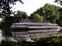
The riverboat Grodno plies the river.
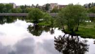
Evening is coming
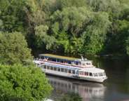
The boat, plying the river, looks great between the riverbanks, swamping in green.
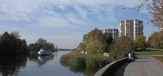
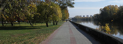
The point is close to the corner of Internatsionalnaya Street and 17th September Street.
Here a new embankment will start.
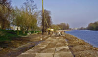
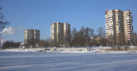
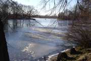
This point in winter. The first ice has appeared and the first angler has appeared too.
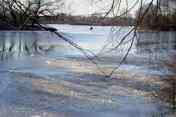
Look at the brave angler on the first thin ice! I did not dare to come closer to the man, to take the picture.
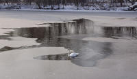
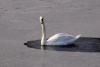
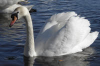
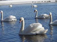
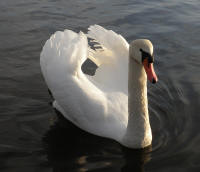
Winter is severe time for swans that stay in Brest till spring.
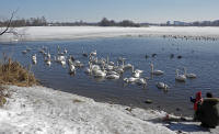

ice is broken to have some clear water for swans and ducks. Otherwise they will not survive in winter.
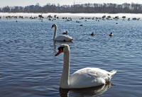
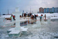
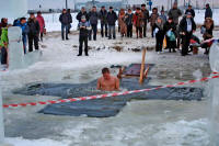
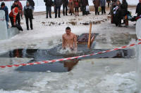
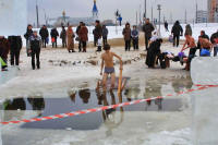
The consecration on Epiphany in January 2009.
The ice hole in the shape of a cross is used for water consecration on Epiphany Day.
Not each will dare to undergo the baptism on a frosty day!
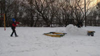
Kids are defending their snow castle on the river bank.
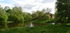

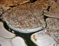
Left is the southern branch of the river.

The view on the southern branch of the river.
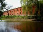
A stretch of the red-brick defensive barracks, that once made up the Citadel, was built in the 1830s. The wall is bright red.
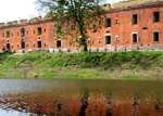
During the renovation in 2006
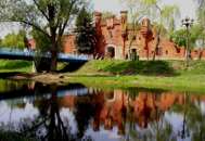
Kholm Gate is named after the town of Kholm (Polish: Chelm).
It is considered the most famous landmark
of Brest Fortress and the city of Brest.

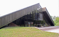
Another big tourist attraction on the southern bank of the southern
branch is the
archaeological museum "Berestye", opened in 1982 to keep intact the
archaeological site of the first settlement of Brest, dating back to the 11th -
13th centuries.

The view on the southern branch of the river.

A stretch of the red-brick defensive barracks, that once made up the Citadel, was built in the 1830s. The wall is bright red.

During the renovation in 2006

Kholm Gate is named after the town of Kholm (Polish: Chelm).
It is considered the most famous landmark
of Brest Fortress and the city of Brest.


The northern river branch. A view from the bridge by the former Triple Arched Gateway.
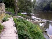
Here we have come to the Western Bug, the frontier between Belarus and Poland.
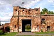
Terespol Gate is named after the Polish town of Terespol, that is on the opposite river bank.


